SpeedTrace Ghana
An Intelligent, Offline-First Driver Safety & Speed Tracking System for the Ghanaian Road Network
Empowering drivers with real-time intelligence — even without internet — to prevent speeding-related accidents and reckless overtaking across Ghana's 70,000+ km road network.
Executive Summary
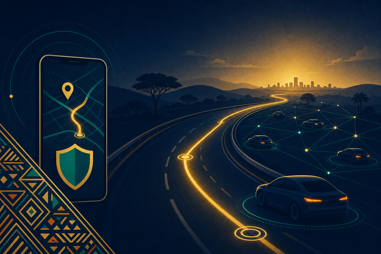
SpeedTrace Ghana is a mobile-based driver assistance and speed management system designed to complement existing enforcement measures such as Traffitech GH. It uniquely functions in low-internet and remote areas using offline GPS, on-device AI, and peer-to-peer mesh networking via Bluetooth and LoRa.
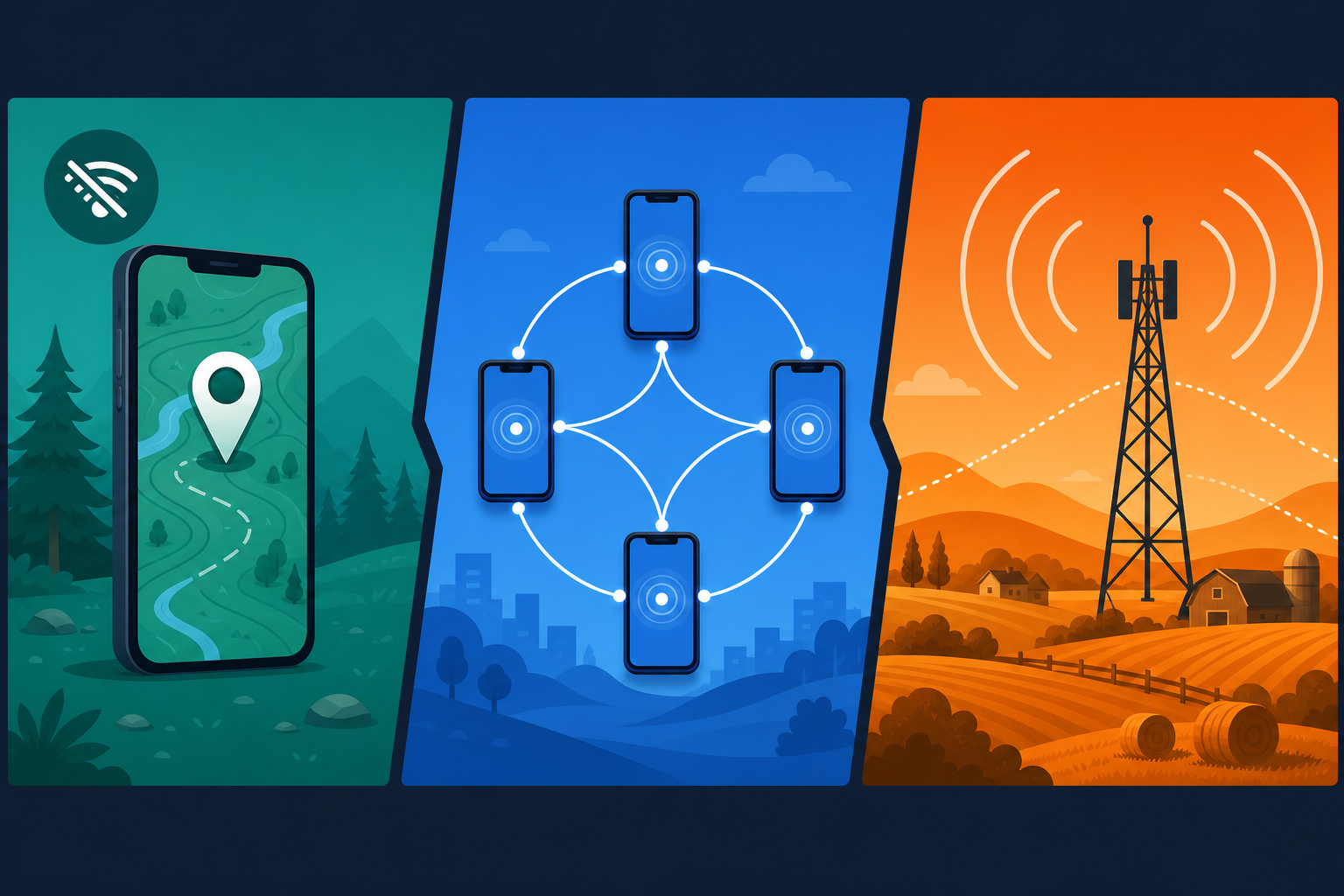
Offline-First
Works without cellular data using GPS and pre-loaded maps
Peer-to-Peer Alerts
Drivers relay hazards via BLE mesh — no internet required
On-Device AI
TinyYOLO model detects oncoming vehicles for safe overtaking
By empowering individual drivers with actionable intelligence, SpeedTrace Ghana aims to reduce speeding-related accidents and reckless overtaking on major and rural roads throughout the country.
Problem Statement
Ghana's road network spans over 70,000 km with many sections in remote or poorly connected regions. Speeding contributes to over 50% of reported accidents (NRSA, 2024). Existing enforcement is reactive — fines arrive weeks after the offence. There is no proactive, driver-facing tool for real-time guidance, especially offline.
| Problem | Description |
|---|---|
| Limited connectivity | Internet is unreliable or absent on many highways and rural roads (e.g., Eastern Region corridors, Northern Savannah routes). |
| Reckless overtaking | Poor visibility and lack of oncoming vehicle information cause fatal head-on collisions. |
| No real-time feedback | Drivers only learn they exceeded speed limits when fines arrive weeks later. |
| No community alert system | Hazards like broken trucks, potholes, and sudden rain are not shared among approaching drivers. |
| Underused phone sensors | Modern smartphones have GPS, cameras, and Bluetooth — yet no app uses them for offline road safety in Ghana. |
Proposed Solution
A free-to-use mobile application for Android and iOS with an optional low-cost hardware extension (LoRa dongle). It operates in three connectivity modes:
Offline Core
GPS speed limit warnings, pre-downloaded maps, on-device AI vehicle detection
Peer Mesh (BLE)
Direct phone-to-phone hazard relay within 100–300 m — no internet required
Extended Range (LoRa)
Hazard data relay up to 10 km, ideal for remote convoys and rural roads
The app does not replace enforcement but complements it by reducing the need for fines through voluntary compliance and driver-to-driver safety networks.
Core Features & Functionalities
Offline Speed Limit Monitoring
- Pre-loaded geofenced speed limits derived from NRSA and open data sources
- Audible and visual alert when exceeding the limit (customisable thresholds)
- "Pilgrim mode": records trip speeds and offers a weekly safe driving score, synced when internet is available
On-Device AI Vehicle Detection (Overtaking)
- Uses phone's rear camera (dashboard-mounted) with a lightweight TinyYOLO / MobileNet neural network
- Detects oncoming vehicles and estimates time-to-collision during overtaking attempts
- Flashing red warning and beep when unsafe overtaking is detected
Offline Peer Mesh Hazard Alerts
- Drivers tap an icon to report: accident, breakdown, pothole, police checkpoint, fog, or rain
- Report propagates phone-to-phone using BLE mesh — no internet required
- Incoming warnings appear as voice notification and map pin within 1–2 seconds
Optional LoRa Extension
- Small USB-C dongle at ¢200–300 one-time cost with optional solar repeater
- Enables hazard exchange up to 5–10 km in open rural terrain
- Creates a virtual "emergency broadcast corridor" for convoy operations
Optional Connected Mode
- Syncs trip data to NRSA / DUR for traffic analytics when internet is available
- Safe-driving leaderboards and social competition among regional drivers
- Receives official police camera location warnings via Traffitech GH integration
USSD Bridge for Feature Phones
- Basic USSD code (*714#) allows SMS-based blackspot warnings on pre-subscribed routes
- No smartphone or internet required — reaches the widest possible driver audience
Technical Architecture
The system is built on an offline-first data model where all core functions rely on local SQLite or shared preferences. Cloud connectivity is entirely optional.
| Layer | Technology | Range | Data Type | Internet Required? |
|---|---|---|---|---|
| Self | GPS + on-device AI | N/A | Speed, overtaking risk | No |
| Local Peer | BLE mesh | 100–300 m | Text hazard reports | No |
| Extended Peer | LoRa | 2–10 km | Text + low-res location | No |
| Cloud Sync | 4G/5G/Wi-Fi | Unlimited | Trip logs, updates, scores | Yes |
Central backend (Django / Firebase) handles speed limit database updates, anonymised traffic flow aggregation, user accounts, and safe driving scores — only when connectivity is available.
Implementation Phases
Feasibility & Prototyping
Validate BLE mesh performance on Tema Motorway. Train TinyYOLO on local vehicle types (taxis, trotros, SUVs, trucks). Develop minimal viable app with offline GPS speed alerts and manual BLE hazard reporting.
Pilot Deployment — Accra–Kumasi Highway
500 drivers recruited via GPRTU and social media (200 commercial, 300 private). 50 LoRa dongles distributed to early adopters. Success target: 80% of participants report reduced speeding and fewer unsafe overtakes.
Regional Rollout
Extend to Western, Central, Ashanti, and Northern Regions. Integrate Traffitech GH camera locations. Launch USSD bridge (*714#). Partner with Tecno and itel for pre-installation on new devices.
National Coverage & LoRa Infrastructure
Deploy 500 solar-powered LoRa repeaters along accident-prone corridors (5 km intervals). Enable government dashboards for anonymised traffic density. Mandate for commercial fleet operators including haulage, STC, and intercity buses.
Continuous Improvement
AI model improvements for pedestrian and animal detection. Integration with emergency services (automated crash alert to 112). Insurance discounts for drivers with high safety scores.
Stakeholders & Partnerships
| Stakeholder | Role | Contribution |
|---|---|---|
| NRSA | Lead Regulator | Provide speed limit data, enforce complementary measures, endorse the application |
| Police MTTD | Enforcement Partner | Share anonymised camera locations, receive crash reduction reports |
| GPRTU | User Adoption | Train drivers, encourage voluntary participation and uptake |
| Mobile Money (MVIP) | Incentives | Integrate small toll discounts for safe drivers with high scores |
| MTN / Vodafone / AT | USSD & Data | Host USSD bridge, zero-rating for app updates |
| MEST / Kumasi Hive | Development | Build and maintain the app and LoRa integration |
| Bloomberg / WHO | Funding & TA | Support pilot and rural LoRa infrastructure financing |
Budget Estimation (First 18 Months)
Funding sources include the government road safety budget, World Bank Global Road Safety Facility grants, and telecommunication CSR programmes.
Risk Assessment & Mitigation
Low Driver Adoption
HIGH IMPACT — Mitigated by partnering with GPRTU, offering in-app rewards, and zero-data updates for users.
Poor BLE Performance
MEDIUM IMPACT — Fallback to LoRa; Wi-Fi Aware available on newer Android devices as secondary option.
Battery Drain from AI Camera
MEDIUM IMPACT — AI activates only when overtaking intent is detected via turn signal or sudden lane change.
Privacy Concerns
HIGH IMPACT — All hazard reports anonymised; no continuous location tracking; opt-in data sharing model.
Cameras Missing on Vehicles
LOW IMPACT — Core offline GPS and peer alerts function without camera AI, which is treated as optional.
Regulatory Approval Delays
MEDIUM IMPACT — Engage NRSA and Police from Phase 0; obtain no-objection letter before pilot launch.
Expected Impact & KPIs

Measurable targets for Year 2 after national rollout:
Beyond numbers: drivers in remote areas gain a sense of community safety, reducing reliance on expensive roadside enforcement infrastructure. The model is scalable to other Sub-Saharan African countries.
Conclusion & Next Steps
SpeedTrace Ghana is technically feasible, economically reasonable, and socially impactful. By transitioning from pure enforcement to enabled self-regulation using offline-ready mobile technology, Ghana can significantly reduce speeding and reckless overtaking — even in areas with no internet connectivity.
Immediate next steps to be undertaken by the project sponsor:
- Secure in-principle approval from NRSA and Police MTTD
- Assemble local technical team (Android, iOS, AI, embedded systems for LoRa)
- Apply for pilot funding — World Bank Safer Roads grant or Ghana Innovation Fund
- Conduct 2-week field test of BLE mesh on the Accra–Nsawam road
- Sign MOU with GPRTU for driver recruitment in the pilot phase